Date: 27/08/2020 04:33:40
From: mollwollfumble
ID: 1610466
Subject: re: August Chat
Yay! A win. I’ve wanted this like forever, like since primary school.
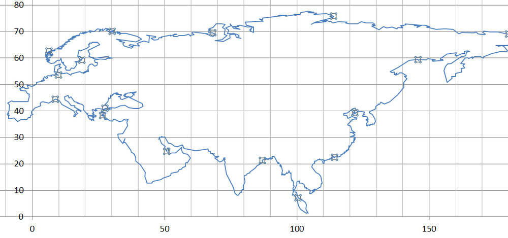
Finally. A downloadable ascii map of the world so I can start trying out novel map projections.
Downloaded from https://gnome.orr.noaa.gov/goods/tools/GSHHS/coast_subset
Set resolution to “coarse”. That gives 14,000 datapoints as polygons for the shape of all land masses. And without all unwanted garbage. The result is a “.bna” file that is really just a .csv file in disguise.
The most accurate map projections are what’s known as “rubber sheet” projections. Lay a rubber sheet over the area of interest on a 3-D globe and squash it flat. Those aren’t the only novel map projections I want to try out.
Here’s Eurasia raw data plotted in Excel.