mollwollfumble said:
dv said:
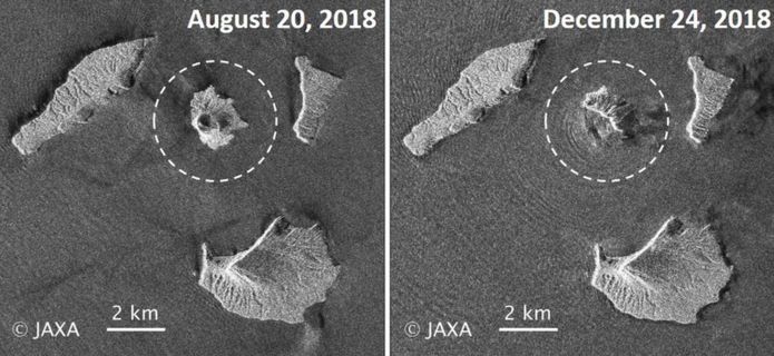
Anak Krakatau: Indonesian volcano’s dramatic collapse
The scale of the dramatic collapse of the Indonesian volcano that led to last Saturday’s devastating tsunami in the Sunda Strait is becoming clear.
Researchers have examined satellite images of Anak Krakatau to calculate the amount of rock and ash that sheared off into the sea.
They say the volcano has lost more than two-thirds of its height and volume during the past week.
Much of this missing mass could have slid into the sea in one movement.
It would certainly explain the displacement of water and the generation of waves up to 5m high that then inundated the nearby coastlines of Java and Sumatra.
https://www.bbc.com/news/science-environment-46707731
> They say the volcano has lost more than two-thirds of its height and volume during the past week.
Yike.
> What was once a volcanic cone standing some 340m high is now just 110m tall. In terms of volume, 150-170 million cubic metres of material has gone, leaving only 40-70 million cubic metres still in place.
> The Japanese Alos-2 radar satellite
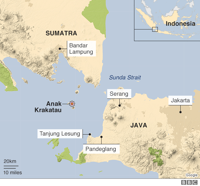
Where exactly is Krakatoa?
If we draw a line connecting the closest points of Java and Sumatra, to the WSW is a big bay. And in the centre of that bay, almost an equal distance from Java and Sumatra, is Krakatoa.
Looks like Anak Krakatau is growing back again.
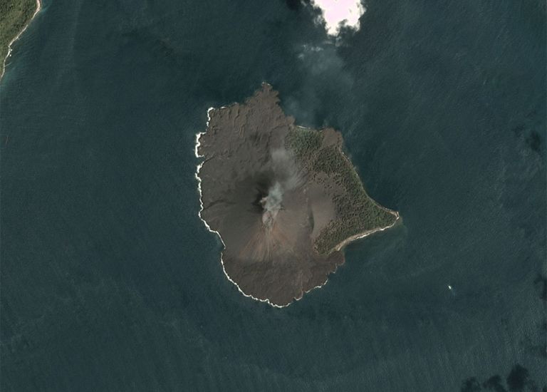
Before.
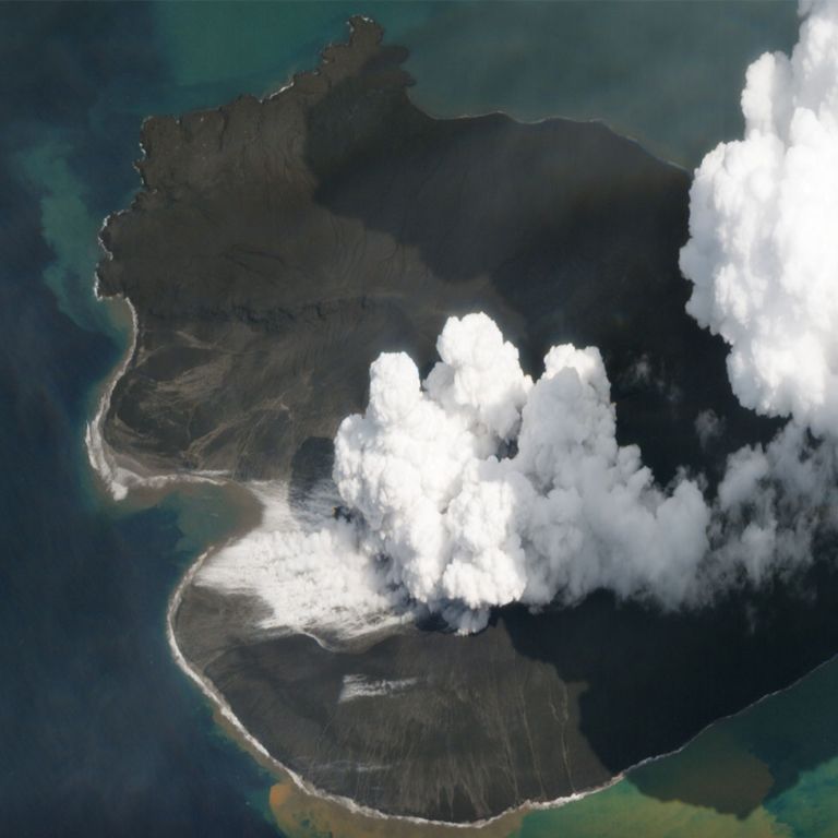
Immediately after collapse – only half as big, see above.
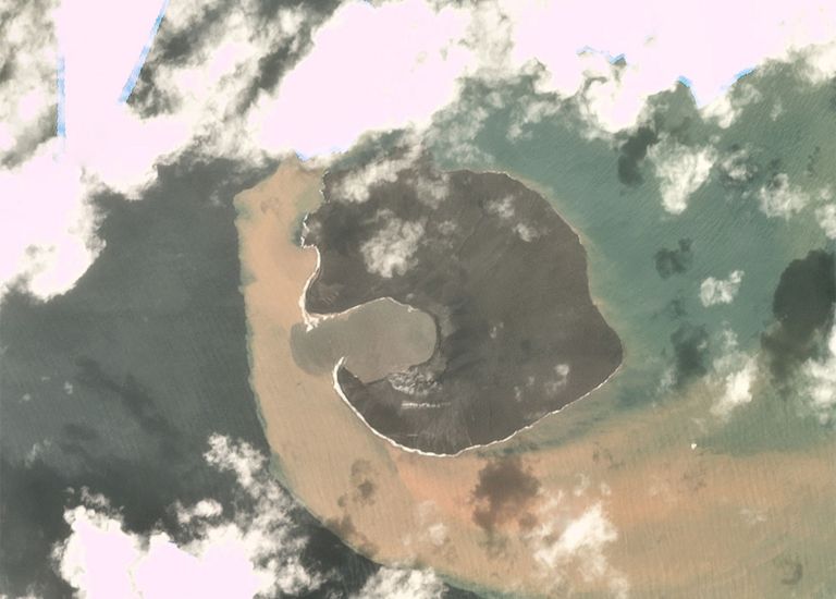
Seven days later and it’s grown, leaving only a big bay.
Three days after that and most of the bay has filled in up above sea level. 2nd Jan.
Here’s a map showing how it’s nearly half way between Sumatra and Java. WSW of the point where they’re closest together.
All images from https://www.bbc.com/news/science-environment-46743362