Date: 29/10/2020 09:03:20
From: mollwollfumble
ID: 1640093
Subject: Map projections

Nothing interesting new.

I’m just back to it after taking finishing the bird watching.

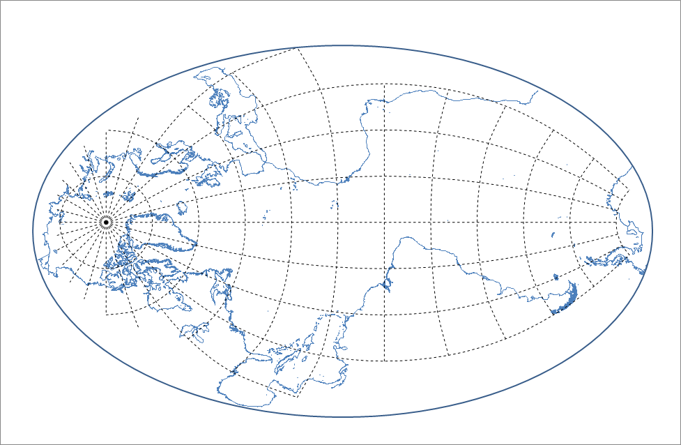
I’ve gone right back to the very start and starting again.
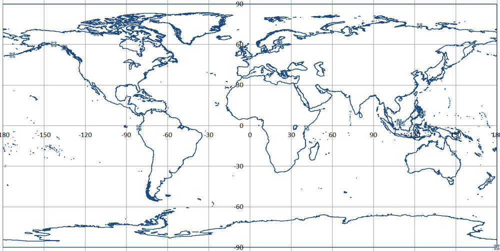
This is the first map I’ve drawn in Excel with Antarctic Islands.
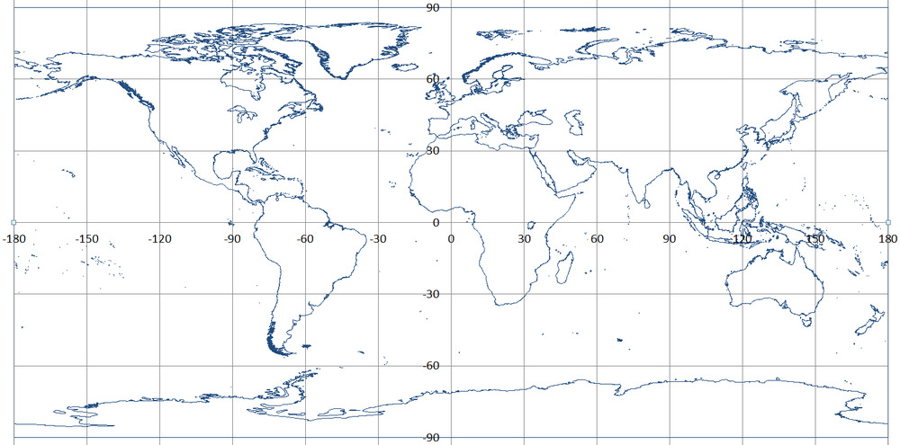
Data without Antarctica and its islands from https://gnome.orr.noaa.gov/goods/tools/GSHHS/coast_extract with intermediate level resolution

Reply Quote

Date: 29/10/2020 09:07:05
From: The Rev Dodgson
ID: 1640095
Subject: re: Map projections

The line is pretty thick. Are you using the latest spreadsheet, with the line weight set to a small number (less than 1 is OK)?

Reply Quote

Date: 29/10/2020 09:17:21
From: mollwollfumble
ID: 1640100
Subject: re: Map projections

The Rev Dodgson said:


The line is pretty thick. Are you using the latest spreadsheet, with the line weight set to a small number (less than 1 is OK)?

Good question. This isn’t the latest spreadsheet.
I just screendumped raw data line width 1 pixel. Let’s try again.

Reply Quote

Date: 29/10/2020 23:53:57
From: mollwollfumble
ID: 1640577
Subject: re: Map projections

The first half-decent projection that I have.
I posted a cruder version of this before.

Arctic, Atlantic and part of Southern Ocean
Cassini Projection (Equidistant)

Reply Quote

Date: 1/11/2020 10:00:54
From: The Rev Dodgson
ID: 1641826
Subject: re: Map projections

mollwollfumble said:


The first half-decent projection that I have.
I posted a cruder version of this before.

Arctic, Atlantic and part of Southern Ocean
Cassini Projection (Equidistant)


I like that one.

In spite of its focus on the wrong hemisphere and the wrong pole.

Reply Quote