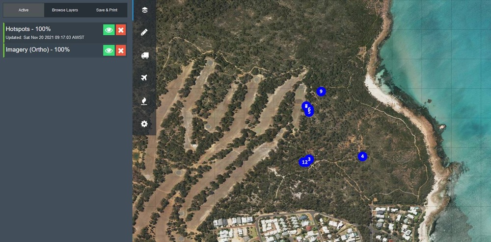
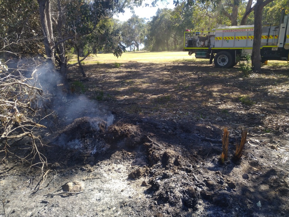
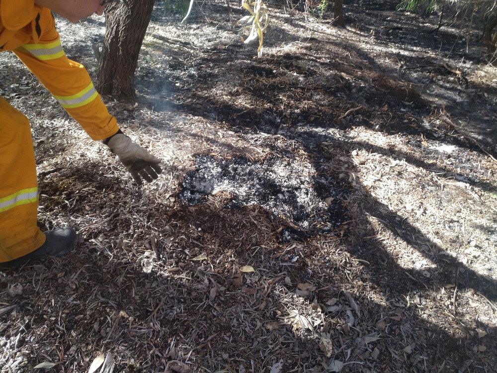
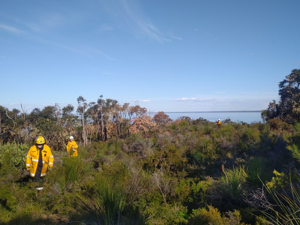
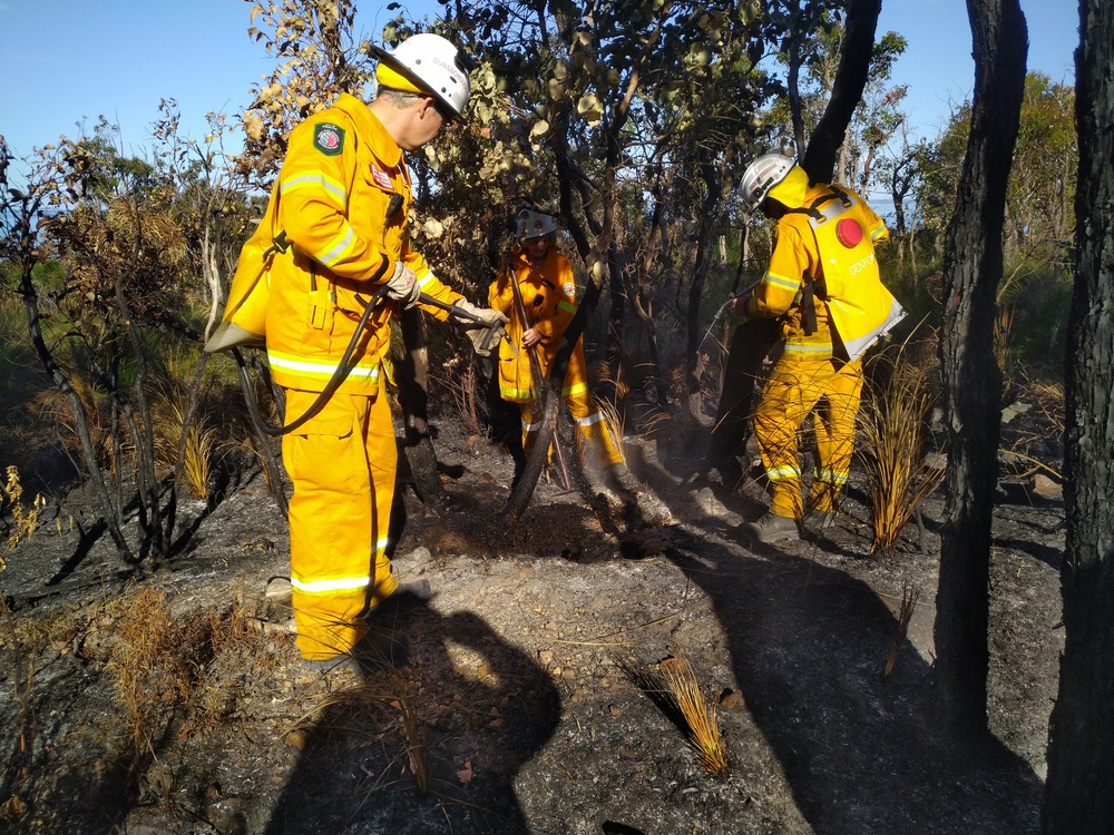
Yesterday my task as fire captain was to locate and verify multiple hotspots in the A class reserve next to town. We had conducted a cool burn through there 10 days ago, and the season is warming up and drying out so it was important to extinguish any remaining fire in an extreme fire risk area. We were able to get the new Linescanner plane to do a few passes with the high resolution infrared camera, and DFES wanted me to go find the hotspots, take pictures, describe the immediate area and finally to extinguish them.
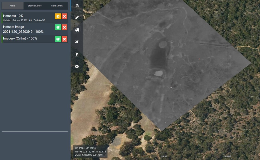
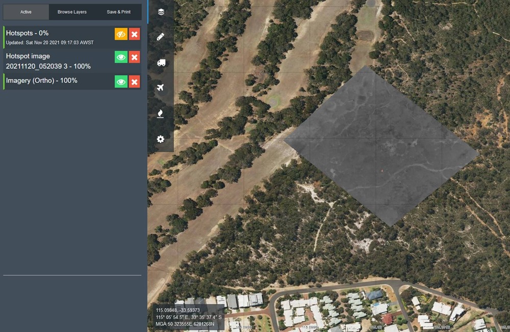
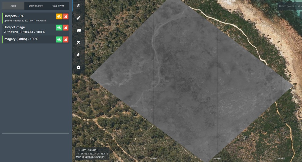
The plane did its passes at 2000 feet and found 4 definites, and 5 possibles. Upon locating them on the ground, none were larger than 1m, none were burning but 4 were smouldering, the smallest being 250mm across. Most of those were below tree canopy, so the sensitivity of the camera is excellent.
I’ll upload the pics in the following post.
Aircraft Details:
Registration VH-LAB (ICAO: BE20)
Callsign FIRESCAN 125
Air Affairs Australia Pty Ltd
1x Pilot, 1x Sensor Operator
Primary Role To establish and maintain strategic situational awareness.
Specific Tasks
• Fire/Flood surveillance & reconnaissance (mapping)
• Marine emergencies / Oil Spill Response (mapping)
• Search and Rescue – Visual Search