Taking that question on notice.
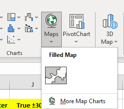
You would be aware that Excel now offers a standard map projection.
Under the insert tab there’s a Map and a 3-D Map button.
I’d forgotten that I did the following. Thanks for reminding me.
mollwollfumble said:
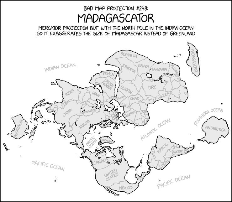
Consider if South America was out of the way.
For downloading data. From memory.
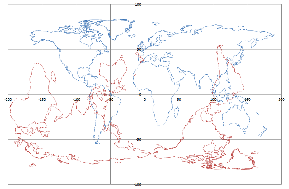
I got country boundaries separately from coastal boundaries.
The data for coastal boundaries came as coarse, medium and fine resolution.
I think there was a separate data source for Antarctica.
I ended up mixing and matching the three data sources. For coastal data, I couldn’t use the medium resolution data in Svalbard or Canada because near the poles there were just too many data points. So I had to simplify these.
Let me recall about country data. Ah, good, this is the entry I’m looking for.
mollwollfumble said:
I found a .klm file with country boundaries on https://hub.arcgis.com/datasets/a21fdb46d23e4ef896f31475217cbb08_1 and am trying to bash it into a form that I can use on Excel.
I already know that the file is too big to import into Excel. The import loses some of the boundary of Antarctica for example. I just hope I don’t lose too much. The import method so far is to import with space character delimiter, delete a lot of rubbish (essentially everything other than country names and latitude-longitude pairs). Then I plan to copy-paste transpose and text to column using comma delimeter.
I’ve copied that klm file “Longitude_Graticules_and_World_Countries_Boundaries.klm” onto Google drive.
The link is
https://drive.google.com/file/d/1OTziKNbm-8dZSWMaYJpbxNGeNscjR08-/view?usp=sharing
Let me know if you can/can’t get it.
I don’t know if that includes Antarctica. If not and you want it, then I have separate Antarctica boundaries file that I can upload.