Date: 31/07/2025 23:43:26
From: dv
ID: 2304279
Subject: island
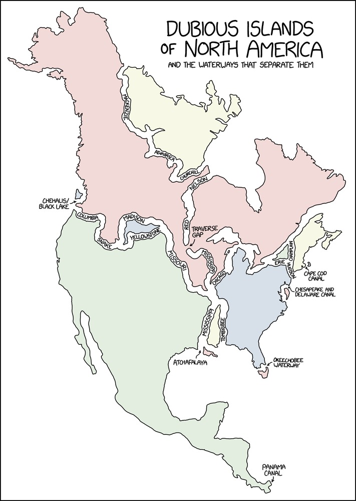
Although this xkcd piece is meant as a joke, it does make me wonder: why are these landmasses not islands? They appear, on the face of it, to meet a basic definition of the word island.
To focus on a particular example:
Wollaston Lake is fed mainly by the Geikie River. It is a bifurcatory lake. Its two outflows are to the west (ultimately to the MacKenzie river system which flows into the high Arctic) and to the north (to the Churchill river system which drains to Hudson Bay).
These waters, combined with the Arctic Ocean, surround the pale yellowish landmass in the xkcd map.
Perhaps someone who knows more about hydrography than me can explain why it is not an island.