What you need to know about derechos
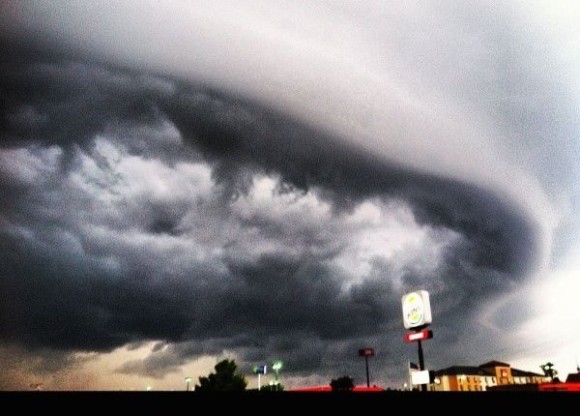
The storms that are forming today and tomorrow (June 3 and 4, 2014) in the U.S. Central Plains and into the Atlantic states may be capable of forming a derecho, according to NOAA’s Storm Prediction Center. What is a derecho? It’s a violent storm system that can produce widespread wind damage across a large area. It’s usually associated with a rapidly moving band of showers and thunderstorms. The strong to violent winds are typically associated ahead of the main system as the outflow from the storms becomes more concentrated. Wind damage is typically directed into one direction and can create widespread damage along a relatively straight path. These windstorms typically form in the late spring and summer and typically affect states east of the Rocky Mountains. In this post, we will look at how a derecho is formed, where they occur. We’ll look back to June 11, 2012, when a strong derecho struck in the U.S. as an example of what a derecho can do to a large area. Follow the links below to learn more.
——————
more at link
i’d never heard the term before.