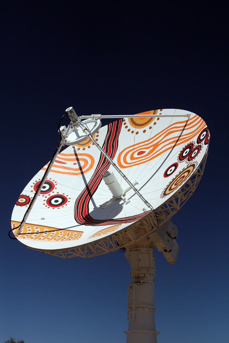
The upgraded Alice Springs antenna was commissioned by Minister for Resources and Northern Australia Senator Matt Canavan at a ceremony at Parliament House in Canberra on 9 November 2016.
The Australian Government has invested more than $4 million to upgrade the Alice Springs antenna, securing Australia’s access to essential satellite data into the future.
The antenna enables Geoscience Australia to collect data from a number of Earth monitoring satellites, including Landsat 7 and 8, which provide information to detect changes in land use over time and other useful environmental data. This data is used by government, industry, education and research, contributing billions of dollars to the Australian economy.
The upgrade allows the US Geological Survey (USGS) Mission Operation Centre located at NASA to send command and control signals to current and future Landsat satellites via the facility at Alice Springs, as well as receive status updates on a satellite’s position and ‘state of health’.